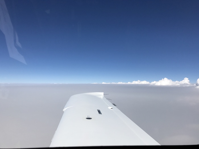
Flying to Glacier National Park (KGPI) yesterday there was a base layer of smoke from all the fires in the northwest Rockies. The smoke layer extended almost up to 18,000 feet which is where this picture was taken.
Had to do to IFR approaches. One into Billings MT (ILS 10L) to stop for gas, and another into Glacier National Park (ILS 2).
The Glacier approach was interesting because of all the mountains (which I could not actually see) which were visible on the Garmin Synthetic Vision of the G1000 and lots of traffic sequencing into the approach.
Sent from my iPad
This photo was taken facing NorthEast on Saturday, August 5th 2017 at 3:59pm CDT.
Where the picture(s) were taken:
